
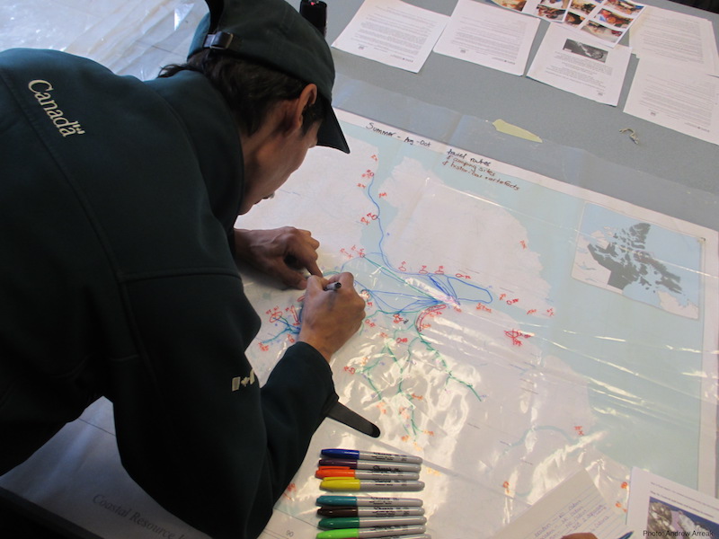
The Culturally Significant Marine Areas reflect Inuit and Northerners’ knowledge and extensive year-round use of important marine areas. They were identified through participatory mapping, focus group discussions, and interviews with community members.
Scroll down to view the CSMAs.
Use the + and – feature on the left to zoom in and out of specific areas.
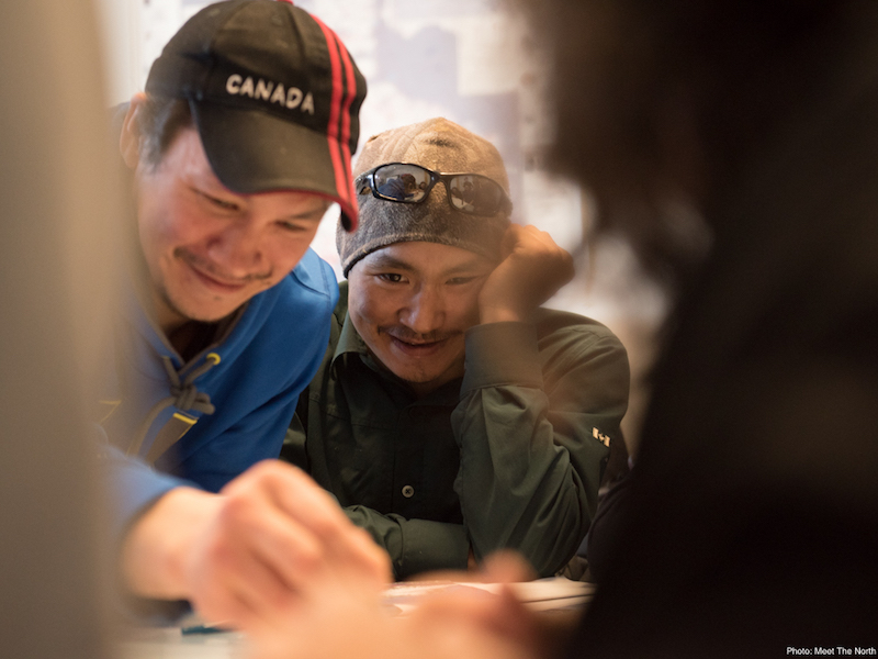
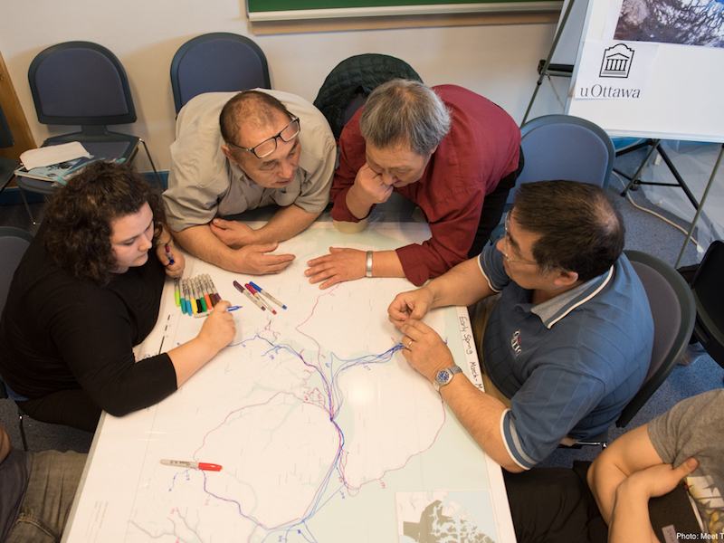
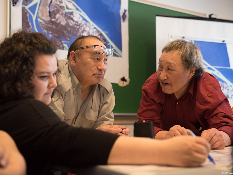
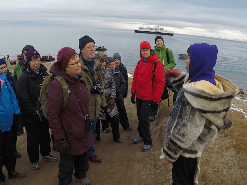
The images below are pictures of the community researchers and community members who shared their knowledge and perspectives so generously while collaborating on the Arctic Corridors project.

If you are a researcher interested in non-aggregate data or additional data products contact us about collaborations and partnership.